|
|
|
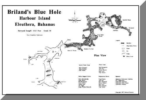
The map was created over two expeditions in 1997 and 1998. Heading up the expedition was Tom Turner and his wife Janine. Survey was done by Tom Turner, Michael Poucher and Brett Hemphill. Safety and support divers were: Chris Bartenfelder, Nigel Beatty, Bob Beregowitz, 
|
Copyright © 2001-2025
![]()